Why Monitor Antarctic Ice?
The Challenges of Measuring Antarctic Ice
NASA Satellite Missions Monitoring Antarctic Ice
Emerging Technologies: The Role of Quantum Sensors
What These Measurements Reveal About Climate Change
Future Developments in Antarctic Ice Monitoring
References
Understanding how Antarctica is changing is essential to predicting global sea level rise. To meet this challenge, NASA brings together advanced satellite missions, airborne surveys, and emerging quantum sensing technologies that offer a continent-wide view of ice dynamics. They show how much ice is being lost, but also where, and the main drivers for it. Taken together, these insights are deepening our understanding of climate change and its global consequences.
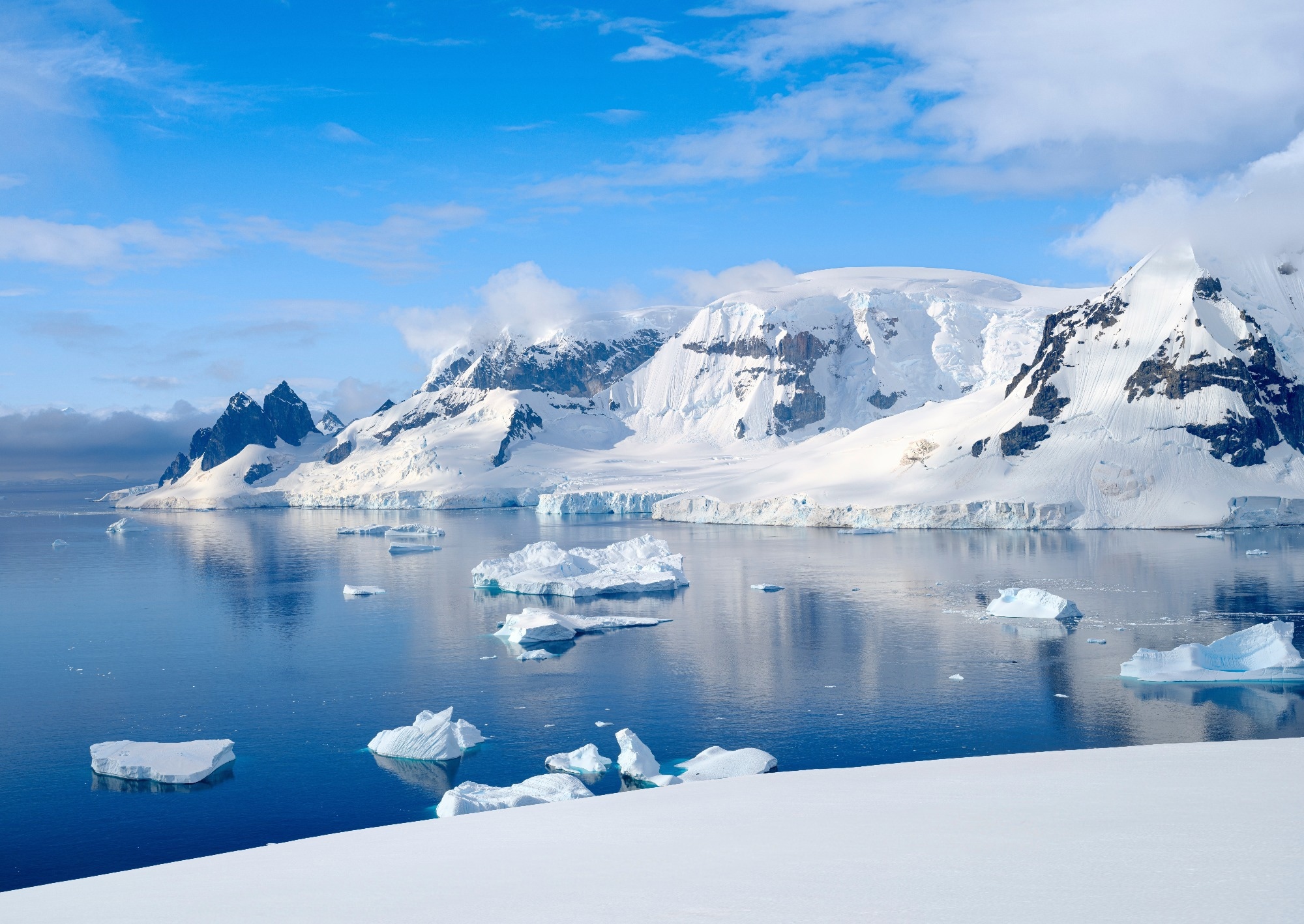
Image Credit: Danita Delimont/Shutterstock.com
Why Monitor Antarctic Ice?
Antarctica is very important for Earth’s climate system and the regulation of sea levels. The Antarctic ice sheets represent the largest reservoir of frozen freshwater on the planet, holding roughly 90 % of the world’s ice and about 70 % of its freshwater. When ice from these vast sheets melts or calves into the ocean, it contributes directly to rising sea levels, with implications for coastal communities and ecosystems globally. That’s why understanding changes in ice thickness, mass balance, and melting rates is critical for accurate projections of future sea-level rise.1
Monitoring the Antarctic ice sheet has technical challenges due to its massive scale and remote location. Traditional ground-based measurements cannot provide comprehensive, consistent data for such a broad region. That’s why NASA has developed and deployed advanced satellite-based monitoring systems and sensing technologies that provide continuous observations of ice dynamics across the entire continent. These remote sensing tools have transformed the ability of scientists to track changes in Antarctic ice with greater precision and regularity than ever before.2 NASA utilizes satellite missions, airborne campaigns, and quantum sensing technologies to monitor changes in Antarctic ice, but it’s no easy task. The resulting measurements, however, reveal a lot about ice loss and its implications for global climate and sea level rise.
Download the PDF of this article
The Challenges of Measuring Antarctic Ice
The extreme weather, with sustained high winds, low temperatures, and frequent storms, makes Antarctic Ice one of the most inhospitable environments on Earth. The ice sheet spans an area of nearly 14 million square kilometers, making comprehensive coverage by ground teams logistically and economically unfeasible.3, 4
The processes involved in changes in Antarctic ice are also complex. For instance, ice shelves can thin because of warming ocean waters beneath them. Glaciers flowing from the interior toward the sea vary in both speed and thickness, and melting may occur not only at the surface but also at deeper levels where warmer ocean currents interact with the ice. As a result, measurements taken at isolated locations on the ground offer only a limited snapshot of broader trends.3, 4
For these reasons, satellite observations have become essential for continuous, large-scale monitoring. Space-based instruments can repeatedly measure ice surface elevation, detect changes in gravitational fields, and provide a comprehensive, system-wide view of key features. Together, these observations enable scientists to build a more complete understanding of the mechanisms driving ice loss across Antarctica.3, 4
NASA Satellite Missions Monitoring Antarctic Ice
ICESat-2 and Laser Altimetry
One of NASA’s main contributions to ice monitoring is the Ice, Cloud, and land Elevation Satellite-2 (ICESat-2) mission. It was launched in 2018 and uses laser altimetry to measure the elevation of Earth’s surface, including ice sheets, with high precision. The spacecraft is equipped with the Advanced Topographic Laser Altimeter System (ATLAS), which emits thousands of laser pulses per second toward the surface. ICESat-2 can determine surface height to within a few centimeters by timing how long it takes for each pulse to return. Repeated passes of the satellite over the same regions allow scientists to detect small changes in ice surface elevation over time. These changes can indicate areas of thinning, where ice is being lost, or areas of accumulation, where snow and ice are building up.5
GRACE-FO and Gravity Measurements
Another important NASA mission for monitoring Antarctic ice is the Gravity Recovery and Climate Experiment Follow-On (GRACE-FO). This mission consists of a pair of satellites flying in tandem around Earth, precisely measuring tiny variations in the planet’s gravitational field. These variations can show changes in mass distribution on the surface below.
The basic principle behind gravity-based measurements is that the gravitational pull of a region is influenced by how much mass is present. When large amounts of ice melt and flow into the ocean, the local gravitational field decreases slightly. GRACE-FO’s sensitive instruments can detect these minute changes, allowing scientists to infer how much ice has been lost from different parts of the Antarctic ice sheet. Over the past decades, GRACE and its follow-on mission have shown that Antarctica has lost trillions of tons of ice.6
Operation IceBridge: Airborne Monitoring
Satellite missions provide essential large-scale observations, but they can leave gaps in data between successive launches. NASA conducts an airborne campaign known as Operation IceBridge to address this. This program uses aircraft equipped with a suite of instruments, including radar, lidar, and imaging systems, to fly systematic surveys over polar regions.
One of the strengths of IceBridge is its ability to map surface features as well as subglacial topography. Radar instruments can penetrate through the ice and return signals from the bedrock below, revealing the shape of the ground beneath the ice sheet. This information shows how the ice interacts with underlying terrain, which in turn influences how it flows and how it may respond to changes in climate. IceBridge also helps bridge the observational gap between the original ICESat mission and its successor, ICESat-2, ensuring continuity in the long-term record of ice thickness and volume.7
Emerging Technologies: The Role of Quantum Sensors
In recent years, researchers have explored the potential of quantum sensing technologies to enhance the monitoring of ice sheets and Earth’s environment more broadly. Quantum sensors, including quantum gravimeters based on atom interferometry, can provide precise measurements of gravitational fields and other physical properties.
For instance, atom interferometry relies on the wave-like nature of atoms at very low temperatures. In a quantum gravimeter, clouds of ultracold atoms act as test masses whose motion is influenced by gravity. These instruments can detect subtle variations in gravitational acceleration by measuring tiny differences in the phase of atomic wave functions, which are difficult to capture with conventional sensors.8, 9, 10
For Antarctic ice monitoring, quantum gravimeters could provide more precise assessments of mass changes, potentially detecting small-scale variations earlier than existing technologies. This capability could improve understanding of regional differences in ice loss and contribute to better calibration of satellite observations. Although quantum sensing in space is an emerging technology being explored for Earth observation missions, early research indicates that such technologies could become valuable tools in future Earth observation missions.8, 9, 10
What These Measurements Reveal About Climate Change
Data from NASA’s suite of satellite and airborne missions has shown that Antarctic ice loss is not uniform across the continent. For instance, West Antarctica has exhibited accelerating ice loss. Glaciers such as Thwaites Glacier have received attention due to their vulnerability and potential to contribute to future sea-level rise if current trends continue.
Continuous monitoring from space enables researchers to detect changes over time and to distinguish between natural variability and long-term trends. This data feeds into climate models that project future conditions under different greenhouse gas emission scenarios. They also inform policymakers and planners who must consider the implications of sea-level rise for infrastructure, ecosystems, and communities.6
Future Developments in Antarctic Ice Monitoring
The next generation of Earth observation satellites, along with advances in remote sensing technologies, will further strengthen our ability to monitor Antarctic ice. Improvements in sensor design, spatial resolution, and mission longevity are expected to produce more detailed and reliable datasets. At the same time, the integration of artificial intelligence and machine learning may help scientists process the vast volumes of data generated by these missions more efficiently.
Emerging technologies such as quantum sensing also show promise, particularly in enhancing the precision of gravity and mass measurements. These tools could be incorporated into future space missions to complement traditional satellite sensors and expand observational capabilities.
Sustained, long-term monitoring remains essential for understanding how Antarctica’s ice sheets are responding to climatic forces and for refining projections that inform global climate science.
NASA also monitors auroras - find out why here
References
- Shum, C. K., Kuo, C. Y., & Guo, J. Y. (2008). Role of Antarctic ice mass balance in present-day sea-level change. Polar Science. https://doi.org/10.1016/j.polar.2008.05.004
- Zwally, H. J., Robbins, J. W., Luthcke, S. B., Loomis, B. D., & Rémy, F. (2021). Mass balance of the Antarctic ice sheet 1992–2016: reconciling results from GRACE gravimetry with ICESat, ERS1/2 and Envisat altimetry. Journal of Glaciology. http://doi.org/10.1017/jog.2021.8
- Sasgen, I., Konrad, H., Ivins, E. R., Van den Broeke, M. R., Bamber, J. L., Martinec, Z., & Klemann, V. (2013). Antarctic ice-mass balance 2003 to 2012: regional reanalysis of GRACE satellite gravimetry measurements with improved estimate of glacial-isostatic adjustment based on GPS uplift rates. The Cryosphere. https://doi.org/10.5194/tc-7-1499-2013
- Zou, F., Tenzer, R., & Rathnayake, S. (2019). Monitoring changes of the Antarctic Ice sheet by GRACE, ICESat and GNSS. Contributions to geophysics and geodesy. https://doi.org/10.2478/congeo-2019-0021
- NASA's Advanced Laser to Measure Earth’s Changing Ice. NASA. https://icesat-2.gsfc.nasa.gov/pages/nasas-advanced-laser-measure-earths-changing-ice
- Antarctic Ice Loss 2002-2020. NASA. https://grace.jpl.nasa.gov/resources/31/antarctic-ice-loss-2002-2020/
- Morlighem, M., Rignot, E., Mouginot, J., Wu, X., Seroussi, H., Larour, E., & Paden, J. (2013). High-resolution bed topography mapping of Russell Glacier, Greenland, inferred from Operation IceBridge data. Journal of Glaciology. http://doi.org/10.3189/2013JoG12J235
- Müller, J., & Wu, H. (2020). Using quantum optical sensors for determining the Earth’s gravity field from space: J. Müller, H. Wu. Journal of Geodesy. https://doi.org/10.1007/s00190-020-01401-8
- Migliaccio, F., Reguzzoni, M., Rosi, G., Braitenberg, C., Tino, G. M., Sorrentino, F., ... & Zoffoli, S. (2023). The MOCAST+ study on a quantum gradiometry satellite mission with atomic clocks. Surveys in Geophysics. https://doi.org/10.1007/s10712-022-09760-x
- Jensen, T. E., Dale, B., Stokholm, A., Forsberg, R., Bresson, A., Zahzam, N., ... & Bidel, Y. (2024). Airborne gravimetry with quantum technology: observations from Iceland and Greenland. Earth System Science Data Discussions. https://doi.org/10.5194/essd-17-1667-2025
Disclaimer: The views expressed here are those of the author expressed in their private capacity and do not necessarily represent the views of AZoM.com Limited T/A AZoNetwork the owner and operator of this website. This disclaimer forms part of the Terms and conditions of use of this website.